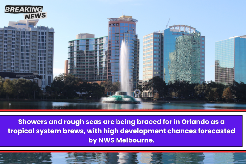
The weather over Orlando is a mix of dry and cloudy, and the chance of rain is rising as the week goes on.
A report from the National Weather Service in Melbourne early this morning said there was “high confidence (80%) for tropical development within the next 48 hours” over the southwestern Caribbean Sea.
Looking ahead to the next week, we can expect scattered rains and dangerous beach conditions, in part because the easterly flow is getting stronger.
According to the National Weather Service, today will be a little warmer in Orlando, with highs in the low 80s and some low-level showers (15–20%) across the eastern peninsula. Wind gusts of 20 to 25 mph will come from the coast as the breeze picks up.
This evening, the temperature will drop to the upper 60s inland and the low 70s along the coast. It will still be windy.With a “Small Craft Advisory” in effect for some water zones along the Brevard and Treasure Coasts, the sea will become more dangerous.
As the week goes on, the NWS says the seas will get even higher, hitting 6 to 8 feet today.
Boaters should be careful because the waves could get up to 7 to 10 feet high and the east winds could pick up to 20 to 25 knots by Monday night. They will stay high until the middle of the week.
Meteorologists and storm watchers are both interested in the large area of low pressure because its growth could have a big effect on the weather in the region. Around the middle of the week, the storm should move north into the Gulf of Mexico.
However, because the models are very uncertain and spread out, it is still too early to say what effects, if any, might happen in east central Florida, as explained in the forecast talk. People in the area are being asked to stay up to date as the situation changes.


